
Award-winning geo-intelligence, business analytics, and AI-powered solutions for faster, smarter decisions.
Proven platforms and tailor-made solutions that integrate your spatial, tabular, and document data into a single source of truth.
Your organization's single source of truth. A Platform as a Service (PaaS) that seamlessly integrates your spatial, tabular, and document data in the cloud through one window. Enhanced with AI query and reporting, enabling your teams to analyze your data quicker than ever.
Explore the platformManage assets on the map using easy-to-use tools — create, edit, and maintain map features without relying on your GIS team or specialized mapping software.
Learn about GeoEditorGive the public safe, secure access to your organization's data through public-facing portals and search and reporting solutions. Enable your public clients to self-serve and be part of your internal workflows.
See public solutionsCustom application deployment, project management, and hosting solutions tailored to your organization's timing, budgets, and business needs.
See our approachWe deliver location-based solutions across Government, Utilities, and the private sector.

Helping government organizations leverage their information resources through our secure, accessible GeoPortal cloud platform. Our solutions support planning, permitting, asset management, records management, land acquisition and disposition, and public service delivery through integrated mapping, workflows, and reporting.

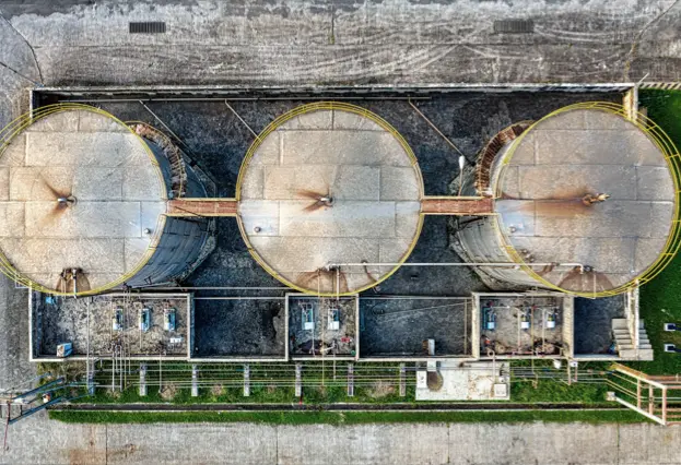
We help utility organizations manage vital infrastructure, land, facilities, and operational data through GeoPortal by connecting their maps, tabular data, and documents, and integrating with their backend systems to provide a seamless single source of truth. This gives teams faster access to trusted information for planning, maintenance, field operations, and long-term capital planning and decision-making.

We help property management teams organize property, lease, facility, and real property information in one place for easier access and oversight. Our solutions improve visibility across asset portfolios, support lease administration, site management, space planning, maintenance coordination, and more informed reporting and decision-making.
We help oil, gas, and mining organizations manage complex land, asset, and regulatory information across large geographic areas. By connecting spatial data, operational records, and workflows, we support exploration planning, land management, compliance tracking, infrastructure oversight, and field operations.

We help biotechnology organizations combine geospatial data, biological research, and environmental data to generate deeper insight and better decisions by leveraging the power of location. From biomass and resource planning to temporal and spatial analysis of disease and various socio-economic factors, our solutions support research, supply chain optimization, and innovation through connected, location-based intelligence.

We help forestry and environmental organizations bring together disparate natural resource, environmental and biological data. Our solutions support stewardship, resource planning, monitoring, compliance, and better decision-making across forests, watersheds, habitats, and protected lands.
Our SC2-GeoPortal platform provides everything you need to bring the power of geography, business analytics, and AI to your information solutions.
Use the power of natural language to query and analyze your data, generate reports instantly, and build functional prototypes — accelerating decision-making and getting requirements right the first time.
Government-grade security with a SOC 2 Type II–audited cloud environment, hosted entirely in Canada to meet federal and provincial data residency requirements.
Three decades of delivering GIS and data management solutions to government organizations across Canada.
We deploy analysts who work directly with your team to understand your data and needs on a deep level — not from a distance.
Dedicated and accessible technical support and maintenance whenever you need it.
Link your business information systems to our ready-to-use SC2-GeoPortal service.
Google and third-party mapping and imagery as the base for mapping your business data.
Rapid deployment with a standardized subscription model — go from contract to live portal in weeks, not months.
Trusted by government organizations across Canada.
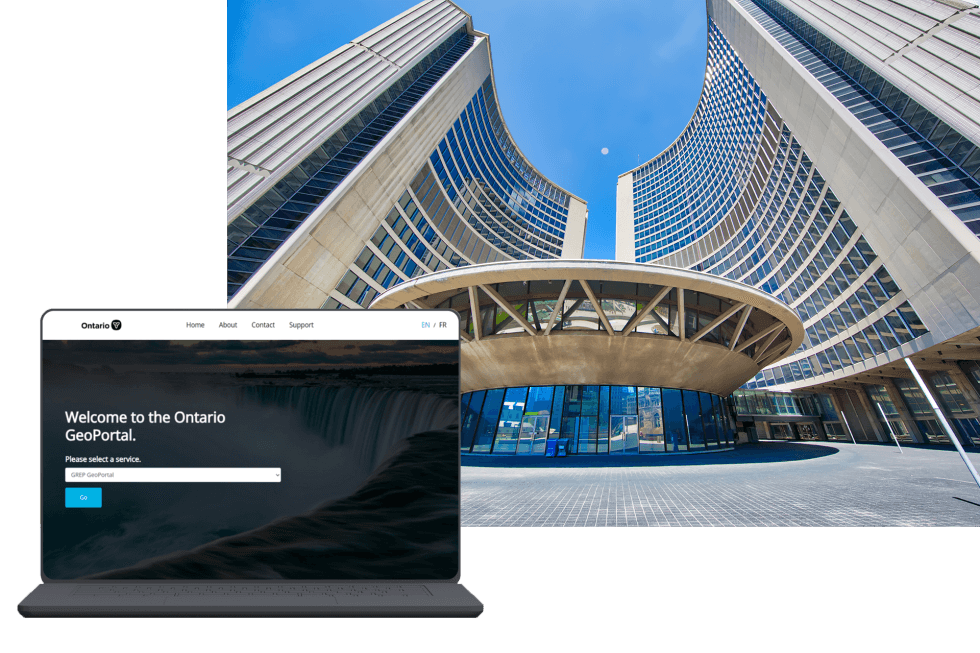
Infrastructure Ontario
Infrastructure Ontario teamed up with SKE to leverage the SC2-GeoPortal service, providing a "one window view" to all of the Ontario government's real estate information.
Read the Story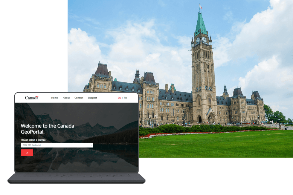
Government of Canada
Public Services and Procurement Canada uses the SC2-GeoPortal to publish and share information through a reliable and trusted system.
Read the StoryOver a short period of time, SKE has helped IO's geomatics department come from being an unknown entity to being a leader in the Geomatics industry.
SKE is able to handle both strategic and practical components of a project and they really understand the technology… We had high expectations of SKE from the start of this project. The end result has certainly lived up to those expectations – as we now have a highly functional, integrated and award-winning geographic information access system.
Let us show you how SC2-GeoPortal can transform your organization's decision-making.
Get in Touch