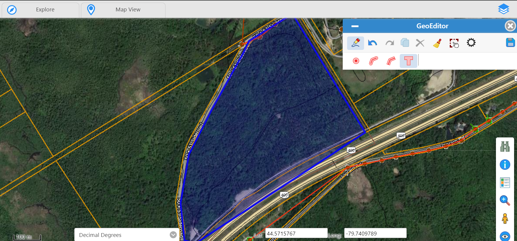
GeoEditor gives users the ability to create and manage map features with easy-to-use tools, without relying on your GIS team or needing knowledge of specialized mapping tools.
GeoEditor enforces your business and spatial data rules, ensuring seamless integration and data integrity as part of your workflows.
Empowering data owners, not just GIS specialists.
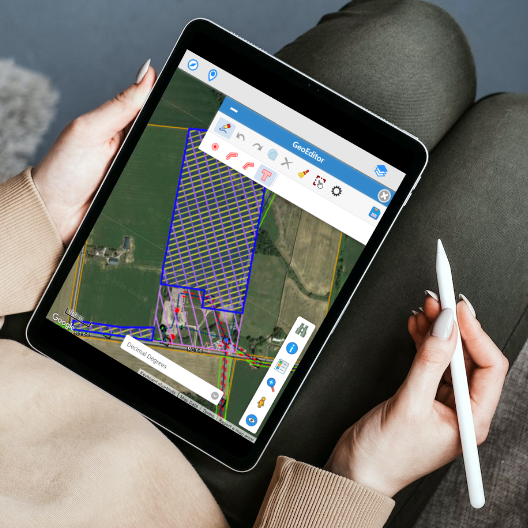
Purpose-built tools that make map editing accessible to everyone in your organization with no GIS expertise needed.
Create polygons, circles, curved and straight lines with intuitive drawing tools designed for non-technical users.
Snap to existing map features and continue along existing contours for precise, consistent geometry every time.
Copy feature dimensions and attributes to quickly replicate similar assets across your map.
Enforce custom business and spatial data rules automatically, ensuring data quality and compliance at the point of entry.
Seamlessly integrated into your organization's workflow, bringing together mapping data with business tabular data and documents.
Designed for non-technical users. Simple drawing tools, guided workflows, and automatic validation mean anyone can create and maintain map data without training.
See how GeoEditor can empower your team to manage spatial data without the complexity.
Get in Touch