SC2-GeoPortal is a Platform as a Service (PaaS) that brings your maps, tabular data, and documents together in one secure cloud. We host and manage the technology — no software to install, no infrastructure to maintain.
Your GeoPortal becomes the single source of truth—giving your teams the capability for faster, more informed decision-making. Now enhanced with AI—providing a more intuitive way to analyze your data.
View Case Studies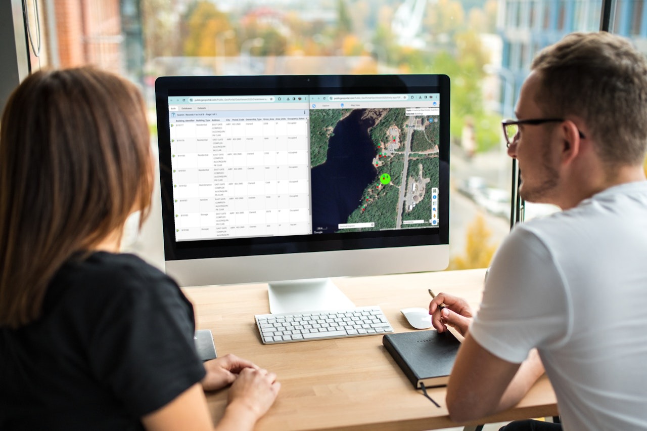
Integrated core tools providing you with a one window view to your data.
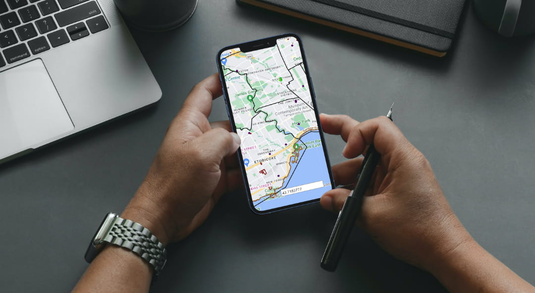
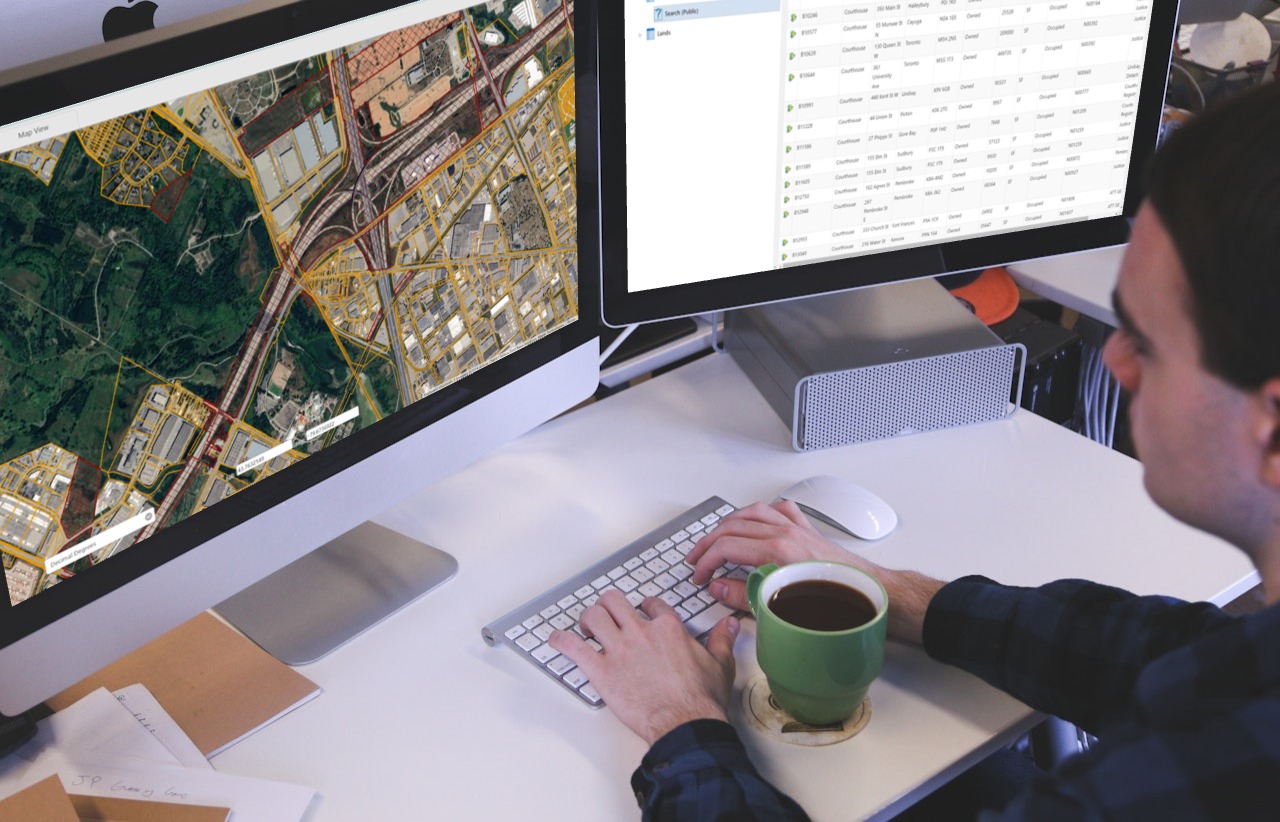
A mapping application that uses the power of geography to integrate business data with maps, enabling users to quickly find their assets and other features of interest. Visualize patterns and see what's nearby. Access all relevant details, regardless of the underlying systems they are managed in.
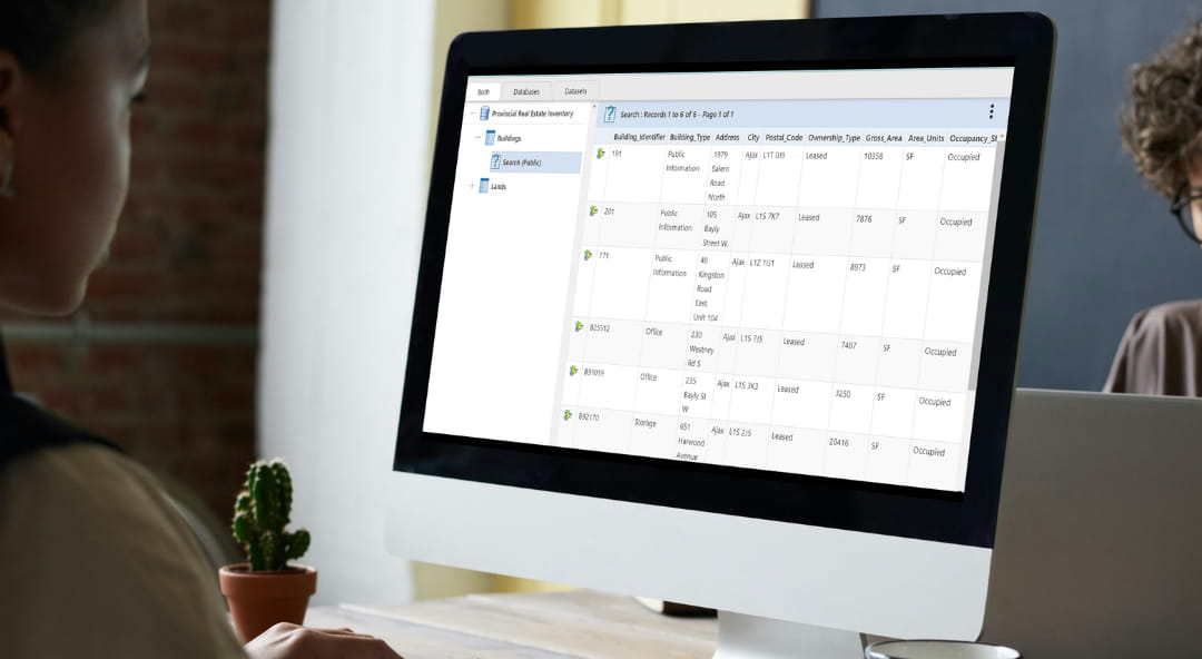
Tabular data query and reporting application that integrates and publishes large volumes of business data. Users can easily and quickly interrogate the data, map them and access other related information such as documents, custom reports, photos and videos, and other web content. Search for data in a variety of ways and export the results to Excel.
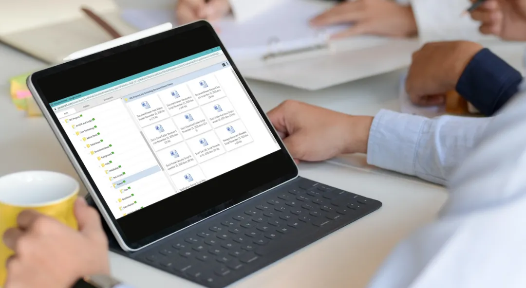
A document management application that provides secure access to your organization's documents, reports, photos, and other content. Seamlessly integrated with GeoViewer and DataViewer for a unified information experience.
Quickly and cost-effectively add "G" (geography) to your "IS" (information systems).
Our SC2-GeoPortal Services provide ready-to-use mapping data including Google maps and imagery; out of the box GeoPortal technologies; and the knowledge and experience to make it work for you. Add your business data – we take care of the rest. The technologies can be deployed in a fully hosted or distributed format.
Easily search and access data, develop insights, and share across your organization or with external clients. GeoPortal becomes your organization's one window view to all of your data — access everything.

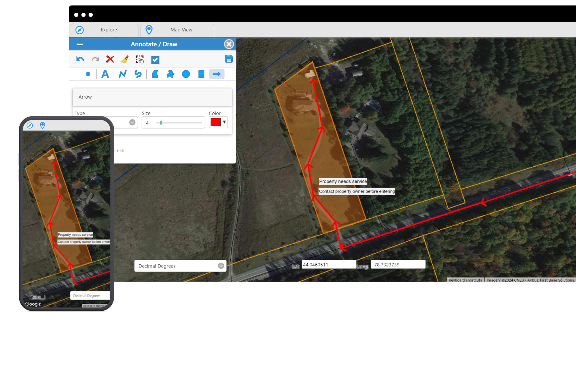
Example: Need your field team to understand how to access a property or find a property's original deeds? Use the map as a whiteboard to collaborate with team members; easily add notes, annotations, and share directly in GeoViewer.
Use natural language to query your data, generate reports, and access insights — no technical expertise required.
A secure, scalable platform for data integration, publishing, and access.
Dedicated and accessible technical support and maintenance.
Ability to link your business information system(s) to our out of the box SC2-GeoPortal service.
Google and third-party mapping and imagery as the base for mapping your business data.
Rapid deployment with a standardized subscription model — go from contract to live portal in weeks, not months.
Powered by the world's most trusted platforms and technologies.